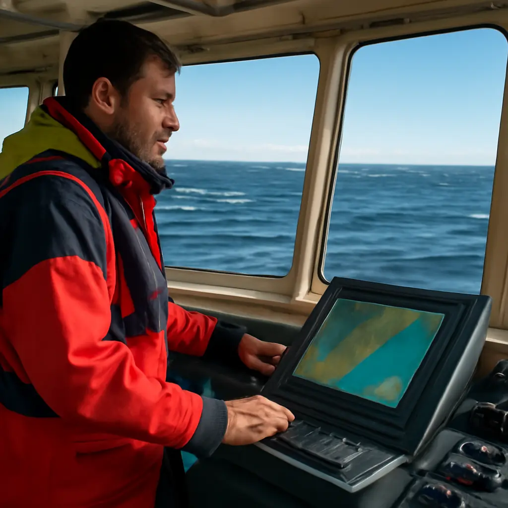
Ocean movement is the changing speed and direction of water driven by tides, winds, waves, and large-scale currents. For vessels, ports, and offshore operations, responding quickly to those changes matters as much as owning capable equipment: currents can alter a ship’s speed over ground, increase fuel use, and complicate navigation, while timely forecasts and route adjustments can reduce exposure. NOAA reports that major surface currents can move at speeds exceeding 5 knots, and the U.S. Coast Guard’s navigation guidance emphasizes using current and tide information alongside charts. Understanding ocean movement, forecasting it, and acting on it helps explain why operational speed—not just better gear—is essential.
Ocean movement shapes vessel performance and safety
Ocean movement means the displacement of seawater through currents, tides, waves, and other processes. The National Ocean Service describes currents as continuous, directed movements of seawater, produced by forces including wind, tides, and differences in water density. These forces operate at different scales: a local tidal stream can affect a harbor approach, while a basin-scale current can influence an ocean crossing.
The practical measure is often speed over ground: how quickly a vessel moves relative to the seabed, rather than through the surrounding water. A following current can increase that speed; an opposing current can reduce it. The difference affects arrival estimates, fuel planning, collision avoidance, and the ability to maintain a safe course. The U.S. Coast Guard’s navigation guidance accordingly treats tides and currents as operational information, not merely background conditions.
Surface currents and ocean-scale flow
Surface currents are flows in the upper ocean driven largely by winds, with their paths also shaped by Earth’s rotation and the layout of continents. Some form broad, persistent circulation systems; others are regional or seasonal. NOAA’s National Ocean Service notes that the Gulf Stream can reach speeds greater than 5 knots in places, illustrating how a powerful current may materially affect a vessel’s progress.
Currents are not uniform conveyor belts: their speed and direction vary by location, depth, season, and weather. A route based on average conditions can therefore be misleading when a ship encounters a strong current boundary or an eddy. Mariners use current forecasts and observations to choose routes and estimate arrival times, while recognizing that forecast uncertainty grows with time and local complexity.
Tides, tidal streams, and coastal navigation
Tides are the periodic rise and fall of sea level, principally caused by the gravitational effects of the Moon and Sun. Tidal streams are the horizontal flows associated with changing tides. NOAA distinguishes tide predictions, which estimate water-level changes, from current predictions, which estimate the direction and speed of water flow. Both matter in narrow channels, port approaches, and shallow areas.
Tidal timing can determine whether a vessel has adequate under-keel clearance or encounters a manageable cross-current. NOAA’s tide and current prediction services provide station-based forecasts, but local conditions can differ from predictions because of wind, atmospheric pressure, river flow, and other factors. Operators should combine predictions with current observations and local navigation notices rather than treating a timetable as a guarantee.
Waves, wind, and rapidly changing conditions
Waves are surface-energy disturbances, commonly generated by wind. They are distinct from currents, although waves and currents can interact and make conditions more hazardous. A strong current opposing a wave direction can steepen waves, while wind can alter surface flow and reduce a vessel’s maneuverability. The National Weather Service’s marine forecasts report conditions such as wind and significant wave height to support voyage planning.
The combined effect is more important than any single measurement. A vessel may face acceptable wave heights but still experience difficult handling when wind, current, and swell converge. This is why operational decisions should be updated as conditions change, rather than based solely on vessel specifications or a pre-departure forecast.
Ocean movement forecasting supports faster decisions
Ocean movement forecasting is the estimation of current, tide, wave, and related conditions over a defined place and time. NOAA’s ocean-observing and prediction programs combine measurements from instruments, satellites, buoys, and numerical models. The purpose is not to eliminate uncertainty, but to provide information early enough for people to adjust routes, schedules, and operating limits.
Forecast value depends on how quickly it reaches decision-makers and how well it reflects local conditions. A detailed forecast that is not checked during a voyage may be less useful than a simpler, regularly updated product that prompts timely action. Forecasts should be treated as decision support, with observations and professional judgment used to verify changing conditions.
Observations from buoys, satellites, and vessels
Ocean observations are direct or remotely sensed measurements used to describe current conditions and evaluate forecasts. NOAA’s National Data Buoy Center operates observing stations that collect marine and meteorological data, including wind and wave information. Satellite observations provide broad coverage, while ships and other platforms can contribute local measurements.
Each method has limitations. Buoys offer time-series data at particular locations, whereas satellites cover wide areas but may not provide the same continuous, near-surface detail everywhere. Combining multiple observation types helps forecasters and operators identify whether conditions are developing differently from expectations.
Models, forecast updates, and uncertainty
Ocean models use mathematical equations and observations to simulate how water and the atmosphere evolve. They can estimate currents, sea level, and waves, but their outputs remain forecasts rather than certainties. Errors may arise from incomplete observations, complex coastlines, rapidly changing weather, or differences between modeled and local conditions.
Operators can manage uncertainty by checking updated marine forecasts, comparing forecasts with onboard observations, and planning alternative routes or departure windows. For example, a predicted favorable current should not be relied upon without considering the possibility of a shift or a concurrent rise in wind and waves.
Operational speed turns ocean intelligence into action
Operational speed is the ability to interpret new information and make an appropriate decision promptly. It does not mean moving at maximum vessel speed. It means reducing the delay between detecting changing conditions and adjusting a route, speed, schedule, or operating plan. Better equipment can improve measurement and communication, but it cannot substitute for a decision process that acts on the information.
This distinction matters because ocean conditions are dynamic and risks are interconnected. A delayed response to an adverse current can compound schedule slippage; continuing at an unsuitable speed can raise fuel use or reduce maneuvering margin. Conversely, slowing down, changing course, or waiting for a safer window may be the faster and safer choice over the full operation.
Route and speed adjustments
Route optimization means choosing a course that balances time, safety, fuel, and environmental conditions. A favorable current may support a route adjustment, but the shortest geographic path is not always the quickest or safest. Navigators should account for forecast currents, traffic separation schemes, weather, depth constraints, and vessel capabilities.
Speed management is equally important. The International Maritime Organization’s energy-efficiency framework recognizes operational measures, including speed optimization, as ways to improve ship efficiency. The appropriate speed depends on the vessel and voyage: excessive speed can waste fuel and reduce response time in difficult seas, while an overly conservative speed can create avoidable delays. Decisions should be based on the full operating picture.
Ports, offshore work, and emergency response
Ports and offshore operations face local effects that broad ocean forecasts may not resolve. Tidal currents can influence berthing and channel transit; changing waves can affect loading, transfer, or small-boat work. Port authorities and operators therefore use local observations, operating thresholds, and communications procedures to decide whether to proceed, pause, or reschedule.
Emergency response makes speed of decision especially consequential. Search-and-rescue teams must account for currents and wind when estimating where a person or object may drift. The U.S. Coast Guard uses environmental information as part of search planning, because drift can change the search area over time. Rapidly incorporating updated conditions can help direct limited resources more effectively.
A practical decision cycle
A reliable response process links monitoring to action. Vessel and shore teams can use the following cycle:
- Check current marine forecasts, tide and current predictions, and relevant navigation notices before departure.
- Compare forecast conditions with onboard instruments and local observations during the voyage.
- Identify operational thresholds for speed, wave conditions, visibility, and maneuvering room.
- Communicate changes promptly and select a route, speed, or delay that preserves safety margins.
- Review outcomes after the operation to improve future planning and forecast use.
This cycle makes technology useful by connecting data to authority, communication, and action. It also supports a shared understanding between crews, dispatchers, port operators, and response teams.
Conclusion: respond to changing water, not just equipment limits
Ocean movement includes surface currents, tidal streams, waves, and interacting weather-driven conditions. These forces affect vessel speed over ground, navigation, fuel use, port access, and emergency response. Forecasts and observing systems provide essential context, but their value depends on timely interpretation and appropriate action.
Better gear can strengthen safety and awareness; operational speed turns that capability into results. Mariners, fleet managers, port operators, and offshore teams should build regular forecast checks, clear decision thresholds, and rapid communication into their procedures. For further guidance, consult NOAA marine forecasts and tide-current resources, National Weather Service marine products, and the U.S. Coast Guard’s navigation and safety publications.
Sources: NOAA National Ocean Service, “What is a current?”, https://oceanservice.noaa.gov/facts/current.html; NOAA National Ocean Service, “What are tides?”, https://oceanservice.noaa.gov/facts/tides.html; NOAA Tides and Currents, Tidal and Current Predictions, https://tidesandcurrents.noaa.gov/; NOAA National Data Buoy Center, About the Data, https://www.ndbc.noaa.gov/; National Weather Service, Marine Forecasts, https://www.weather.gov/marine/; U.S. Coast Guard, Navigation Center, https://www.navcen.uscg.gov/; International Maritime Organization, Energy Efficiency Measures, https://www.imo.org/en/ourwork/environment/pages/technical-and-operational-measures.aspx.