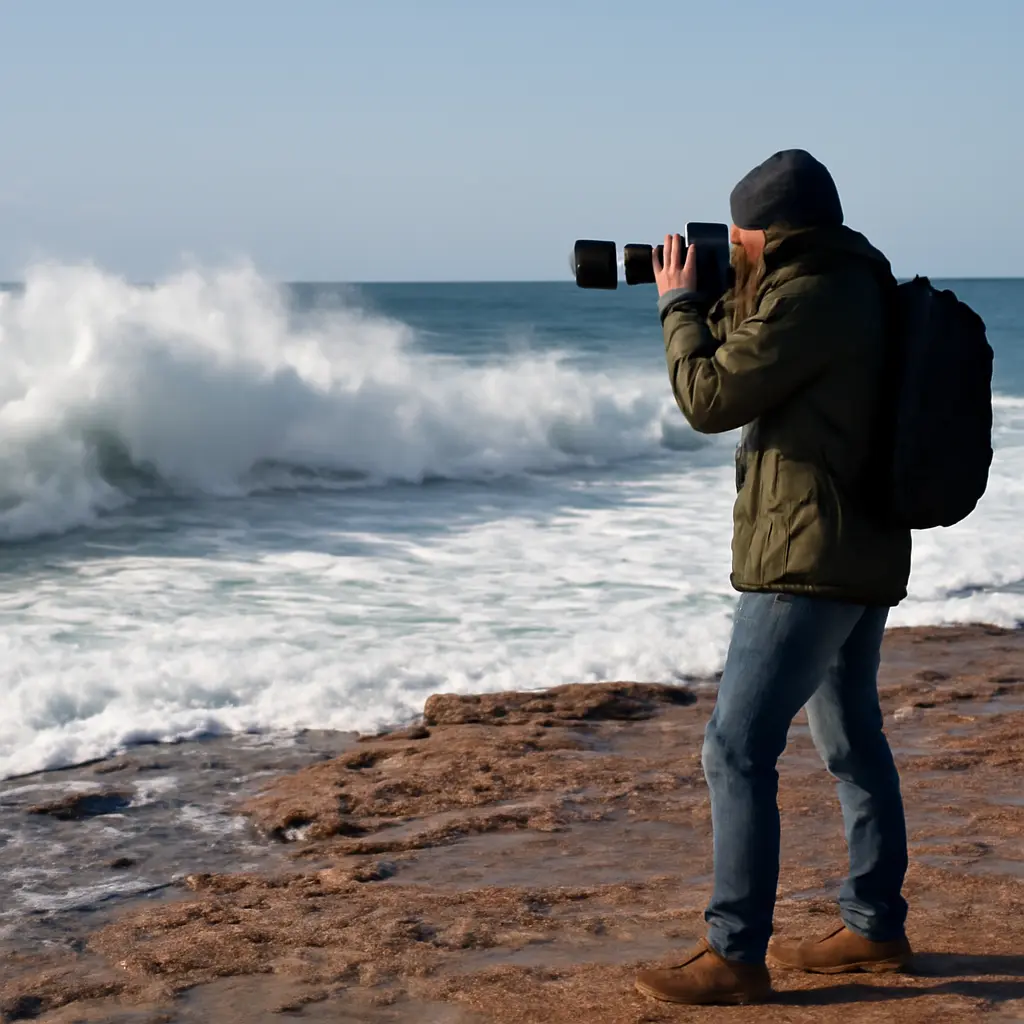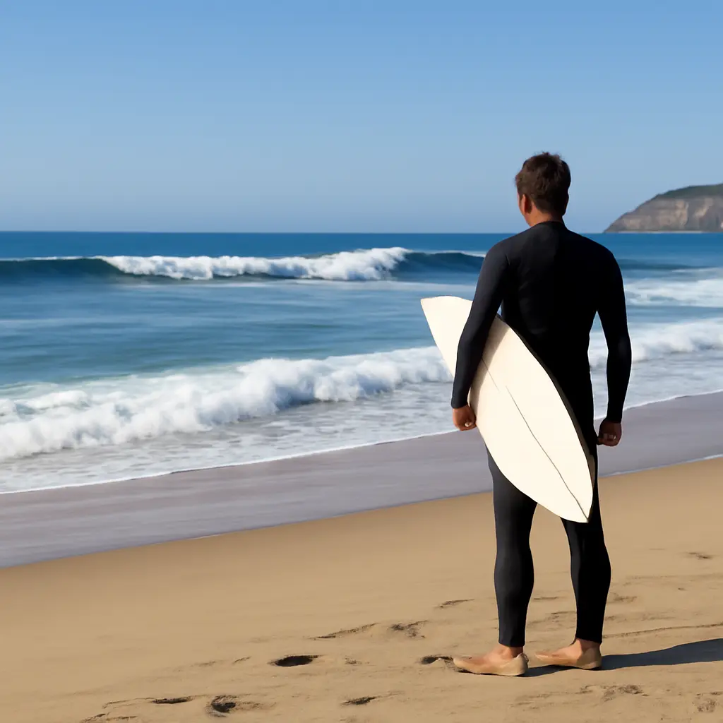
A surf-swell reading is the practice of interpreting the incoming wave pattern, its timing, and its interaction with a particular coastline rather than paddling for every visible set. The National Oceanic and Atmospheric Administration (NOAA) explains that wave forecasts describe factors such as wave height, period, and direction; together with local wind, tides, and bathymetry, those clues help surfers anticipate which waves are likely to break well. Learning to read them can reduce wasted effort and improve decision-making, though it cannot remove the ocean’s inherent risks. This guide explains the swell signals, how to watch a lineup, when to paddle, and how to apply the approach safely.
Read swell patterns to choose better waves
Swell reading is the process of using observations and forecast information to estimate how incoming ocean waves will behave at a specific surf break. Instead of chasing every set, a surfer watches for patterns: the direction waves arrive from, the time between crests, the consistency of sets, and how those waves interact with reefs, sandbars, points, wind, and tide. NOAA’s National Data Buoy Center measures wave conditions including significant wave height and dominant wave period. Significant wave height represents the average height of the highest one-third of waves, so individual waves can be smaller or considerably larger. Forecast figures are useful context, not a promise that every wave will match the average.
The practical payoff is better selection, not simply catching fewer waves. A surfer who waits for a set that suits the break may spend less energy on poor-positioned or closing waves and be better prepared when a rideable wave arrives. Because local conditions can change quickly, swell reading should be combined with a beach assessment, awareness of other surfers, and conservative safety decisions.
Understand swell signals before entering the lineup
Swell is a series of waves that has traveled away from the weather system that generated it. The National Weather Service describes ocean waves as being shaped by factors such as wind, duration, and the distance over which wind blows. For surfers, the relevant entity-attribute pairing is swell behavior at a particular break: the way wave direction, period, height, and local conditions combine to produce breaking waves. No single forecast number predicts surf quality by itself.
The main swell attributes are direction, period, and height. Their interaction with local exposure determines which parts of a coastline receive energy. A beach facing the swell may receive more energy than a sheltered cove, while a headland or reef can bend or focus waves. These are related forms of the same reading task: forecasting the incoming pulse, observing how it transforms, and deciding whether the resulting wave is safe and suitable to catch.
Swell direction and break exposure
Swell direction describes where waves are coming from, usually expressed as a compass direction. A break’s orientation and nearby landforms determine its exposure. For example, a coast facing west may receive a west-originating swell more directly than a nearby east-facing cove, although islands, points, and underwater features can alter the outcome. The Surfline forecast glossary and NOAA marine forecasts both treat direction as a key component of wave conditions, but local observation remains essential because the same forecast direction can produce different results at different breaks.
Before paddling out, compare the forecast direction with the break’s orientation and look for where waves consistently wrap, reform, or pass without breaking. A point break may bend incoming waves around a headland; a reef can create a more defined peak; and an open beach may have several shifting peaks. These are not guarantees of a particular ride, but useful clues about where energy is arriving.
Wave period and set rhythm
Wave period is the time between successive wave crests passing a fixed point. Longer-period swell generally carries more energy through the water column and can break differently from short-period, locally generated wind waves. NOAA buoy reports provide dominant wave period as part of their observations, while surf forecasts commonly distinguish longer-period groundswells from shorter-period windswells. These labels are shorthand: actual conditions can include several swell trains with different periods and directions.
In the lineup, period helps explain why a quiet-looking interval may be followed by a more powerful set, but it does not tell you exactly when that set will arrive. Watch several cycles rather than assuming the next wave will resemble the last. If waves arrive in groups followed by lulls, use the lull to assess positioning and other surfers rather than paddling after every shoulder that appears.
Wave height and significant height
Forecast wave height is an estimate of the sea state, not a precise measurement of every breaking face at the beach. NOAA’s significant wave height is calculated from the average of the highest one-third of measured waves. That statistic helps describe overall conditions, but the largest individual waves can exceed it, and breaking-wave height can differ from offshore buoy readings as swell crosses shallow water.
For that reason, use height forecasts as a planning range and check the actual break before committing. A relatively modest offshore reading can produce challenging surf over a shallow reef, while a sheltered beach may receive less energy. If the sets look beyond your ability or the consequences of a mistake are high, choose a safer location or stay out.
Read the break as swell meets local conditions
Swell forecasts describe offshore conditions; the coastline transforms them. Bathymetry, shoreline shape, wind, and tide influence where waves steepen, peak, and break. NOAA’s National Ocean Service notes that waves change as they approach shallow water, where interaction with the seabed slows and reshapes them. This is why a forecast can be broadly accurate while a particular sandbar or reef behaves differently than expected.
Wind, tide, and bathymetry
Wind can smooth or degrade the wave face depending on its direction relative to the coast, while tide changes the water depth over reefs and sandbars. Underwater contours can focus wave energy into a peak or spread it across a wider area. The combination is break-specific: a tide that improves one reef may make a beach break less organized, and a wind considered offshore at one location may be cross-shore at another.
Check local tide tables and marine forecasts, then compare them with what you see. Look for wind texture on the water, the location of breaking peaks, and whether waves are closing out across the entire beach or opening into rideable sections. Forecasts support judgment; they do not replace a visual check or local knowledge.
Beach observation and lineup positioning
A beach assessment is a short period of observing conditions from shore before entering the water. Watch multiple sets to identify the largest waves, the intervals between groups, channels, currents, and where surfers are taking off. Rip currents can move water seaward and may appear as gaps in breaking waves or areas of turbulent water. The United States Lifesaving Association emphasizes recognizing rip-current conditions and seeking lifeguard guidance where available; a channel that looks convenient can still be hazardous.
Positioning means choosing a place in the lineup that gives a reasonable chance of reaching the takeoff area without obstructing others or placing yourself in danger. Observe experienced surfers, but do not assume their position is safe for your skill level. If you cannot confidently identify an exit route, understand the current, or manage the conditions, do not paddle out.
Choose waves instead of chasing every set
Wave selection is the decision to commit to a wave based on its shape, direction, size, position, and the surfer’s ability to catch it safely. Chasing every set can lead to poor positioning, unnecessary exertion, and conflicts with other surfers. A better approach is to watch for waves that match your ability and the break’s behavior, while leaving space for others and following local right-of-way customs.
A practical observation routine
Use a repeatable routine before and during a session. First, check a marine forecast for swell direction, period, height, wind, and tide. Second, observe the break from shore across several set cycles. Third, identify a conservative entry and exit route, likely currents, and where other surfers are positioned. Once in the water, continue checking whether the rhythm or conditions have changed.
- Watch at least several wave groups before deciding where to sit.
- Notice which waves peel open and which close out or break too quickly.
- Wait for a wave that offers a realistic takeoff and safe path, rather than paddling for every visible swell.
- Keep clear of other surfers and yield according to local etiquette and the established right of way.
- Reassess if the wind, current, crowd, or wave size changes.
The goal is not to predict every wave perfectly. It is to make informed choices, preserve energy, and respond to what the ocean is actually doing. A set can arrive larger than expected, and a promising peak can shift; flexibility is part of sound surf judgment.
A real-world example: forecast versus beach reality
Imagine a forecast showing a moderate swell with a long period. At an exposed beach, the waves may arrive in distinct groups, with a long lull followed by several larger waves. A nearby sheltered cove may receive less energy, while a shallow reef may make the same swell break more abruptly. By watching both the set rhythm and the local break, a surfer can choose the location and position that fit their experience rather than treating the forecast height as a guaranteed description of every ride.
This example illustrates why surf forecasts are best used comparatively: they help you anticipate possible conditions and decide what to inspect, but the beach itself provides the final evidence. Conditions vary by location and time, so seek local advice and follow lifeguard instructions.
Conclusion: let observation guide the session
Swell reading combines direction, period, and height with the effects of wind, tide, bathymetry, and shoreline exposure. Watching the lineup reveals how those attributes translate into actual sets, channels, and breaking peaks. The practical lesson is simple: observe first, choose waves deliberately, and keep reassessing rather than chasing every set.
This approach can conserve energy and support safer decisions, but it is not a substitute for surf ability, local knowledge, or caution. Before your next session, review an authoritative marine forecast, watch the break for several cycles, and ask a lifeguard or knowledgeable local about hazards. The ocean is variable; good judgment begins with paying attention.
Sources: National Oceanic and Atmospheric Administration, National Data Buoy Center, https://www.ndbc.noaa.gov/; National Weather Service, “Ocean Waves,” https://www.weather.gov/jetstream/ocean; NOAA National Ocean Service, “What are waves?”, https://oceanservice.noaa.gov/facts/waves.html; Surfline, “Surf Terms and Definitions,” https://www.surfline.com/surf-news/surf-terms-definitions/; United States Lifesaving Association, “Rip Currents,” https://www.usla.org/page/RipCurrents.